Why Public Land Access Matters More Than Ever
Public land represents one of the most powerful and unique assets available to people today. It offers space for recreation, conservation, and connection with nature, often within reach of urban and suburban areas. In 2026, interest in outdoor access continues to surge as more people seek hiking, camping, hunting, fishing, and off-grid experiences without the barriers of private ownership. At the same time, finding public land has become more complex. Expanding development, fragmented land ownership, and evolving regulations mean that simply “heading out” is no longer enough. Knowing where public land exists—and how to access it legally—has become an essential skill. This guide is designed to give you that skill, combining modern tools, proven strategies, and real-world insights.
A: Not always—check local rules.
A: Some areas require permits or passes.
A: Depends on fire restrictions and season.
A: Often yes, with proper licenses.
A: Many areas are free, some charge fees.
A: Use maps and GPS tools.
A: Usually, but leash rules may apply.
A: Only on designated roads.
A: Stay calm and use navigation tools.
A: Plan ahead and carry essential gear.
What Counts as Public Land?
Public land refers to land owned and managed by government entities for public use. In the United States, this includes federal lands, state lands, and local municipal properties. Each category comes with its own rules, access points, and permitted activities.
Federal lands are among the most expansive and include national forests, Bureau of Land Management (BLM) land, wildlife refuges, and national parks. These lands often provide the most flexible access for recreation, especially national forests and BLM areas, which typically allow dispersed use.
State lands vary widely depending on location. Some states prioritize recreation and open access, while others manage lands more strictly for conservation or resource extraction. Local lands, such as city parks and county preserves, are often the easiest to access but may come with tighter usage restrictions. Understanding these categories is the first step in finding public land near you, because each type requires a slightly different approach to discovery.
The Modern Way to Find Public Land in 2026
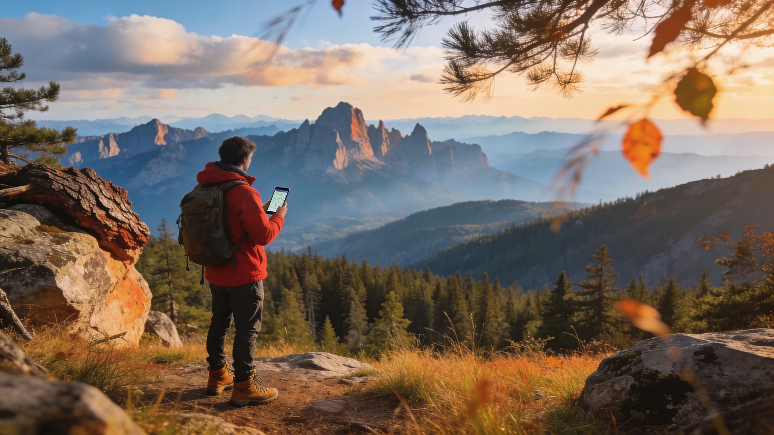
The process of finding public land has evolved dramatically. Today, digital tools make it possible to identify land ownership, boundaries, and access routes with precision that was once reserved for professionals. Mapping platforms have become the cornerstone of public land discovery. These tools overlay land ownership data on satellite imagery, allowing users to see exactly where public land begins and ends. Many also include trail systems, topographic data, and access points, making them invaluable for planning trips.
Mobile apps now integrate GPS tracking with land ownership layers, so you can verify your location in real time. This is particularly useful in areas where boundaries are unclear or poorly marked. In 2026, these apps have become more accurate and user-friendly, making them accessible to beginners while still powerful enough for experienced explorers. Digital tools, however, are only as good as the user behind them. Knowing how to interpret maps, cross-reference data, and verify access routes is what transforms these tools into reliable guides.
How to Use Maps to Identify Public Land
Maps remain the foundation of public land navigation, even in a digital age. Learning how to read them properly is one of the most valuable skills you can develop. Start with topographic maps, which show terrain features such as elevation, ridges, valleys, and water sources. These maps help you understand not just where land is located, but how it can be accessed and used. Public land is often marked with distinct colors or patterns, depending on the map source.
Satellite imagery adds another layer of understanding. It reveals roads, trails, and natural features that may not appear on traditional maps. By combining topographic and satellite views, you can build a complete picture of an area before ever setting foot there.
Boundary lines are critical. Public land is not always continuous; it can be interspersed with private property. Recognizing these boundaries ensures that you stay within legal limits and avoid unintended trespassing.
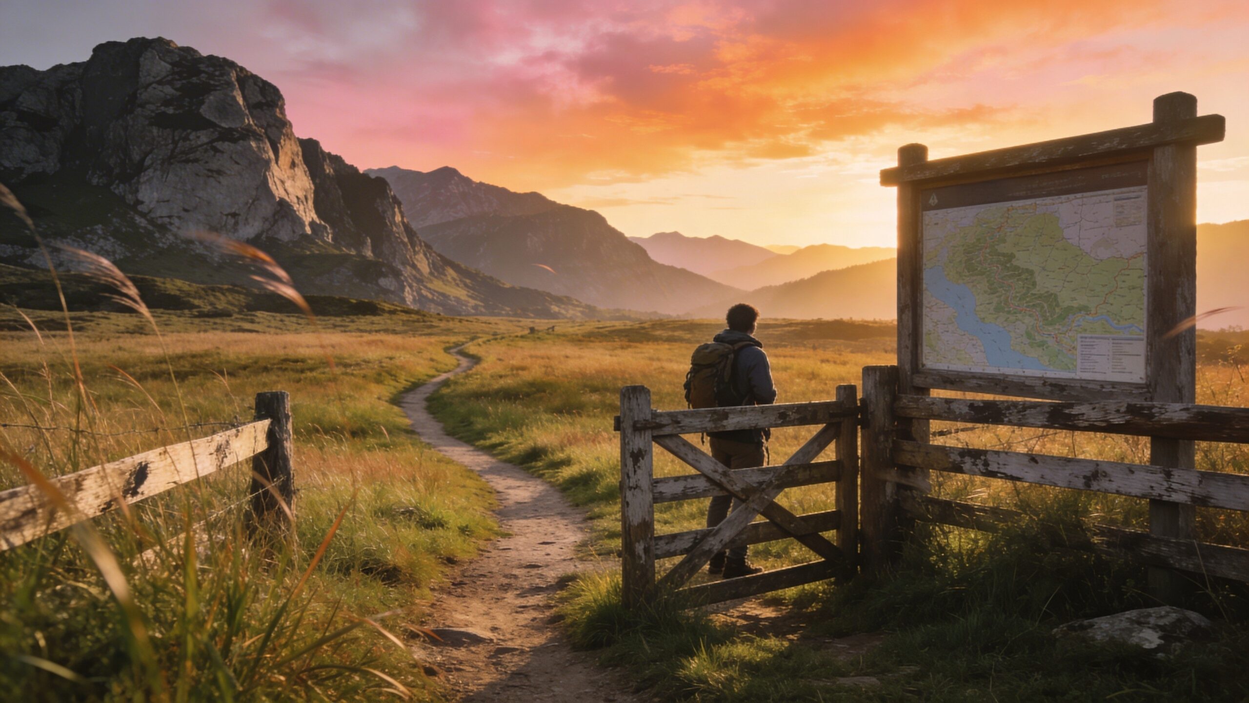
Finding Access Points: The Real Challenge
Locating public land is only part of the equation. The bigger challenge is finding legal access points. Many public lands are surrounded by private property, making them difficult to reach without proper entry routes. Access points typically include trailheads, public roads, designated parking areas, and easements. These are the gateways that allow you to legally enter public land. Without them, even land that is technically public may be effectively inaccessible.
Road networks are especially important. Public roads often provide the most straightforward access, but not all roads are open year-round. Seasonal closures, maintenance issues, and land management policies can affect availability. Easements are another key factor. These are legal agreements that allow the public to cross private land to reach public areas. Understanding where easements exist can unlock access to land that might otherwise seem unreachable.
Avoiding Trespassing While Exploring
One of the biggest risks when exploring public land is unintentionally crossing into private property. Boundaries are not always clearly marked, and signage can be inconsistent or misleading. The best defense against trespassing is preparation. Before heading out, study maps carefully and identify clear entry points. Use GPS tools to track your location in real time, especially in areas where land ownership is fragmented.
Pay attention to physical cues on the ground. Fences, gates, and posted signs often indicate private property, even if maps suggest otherwise. When in doubt, err on the side of caution and avoid crossing uncertain boundaries.
Respecting property lines is not just about legality; it is also about maintaining positive relationships between landowners and the public. Responsible use helps preserve access for everyone.
Understanding Public Land Rules and Restrictions
Not all public land is created equal when it comes to access. Each type of land comes with its own set of rules, and these rules can change based on location, season, and activity. Some areas allow dispersed camping, while others require designated campsites. Certain lands permit hunting or off-road vehicle use, while others restrict these activities entirely. Fire regulations, wildlife protections, and environmental considerations can also impact what you are allowed to do.
In 2026, regulations are increasingly dynamic, with updates driven by environmental conditions and land management priorities. Checking current rules before your trip is essential. Many agencies now provide real-time updates online, making it easier to stay informed. Understanding these rules not only keeps you compliant but also enhances your experience by helping you choose the right destination for your goals.
Best Strategies for Finding Public Land Near You
Finding public land consistently requires a combination of tools, knowledge, and strategy. The most effective approach is to layer multiple sources of information. Start by identifying nearby public land agencies and their managed areas. Cross-reference this with mapping tools to visualize boundaries and access points. Then, use satellite imagery to confirm roads and terrain features.
Local knowledge can be incredibly valuable. Community forums, outdoor groups, and regional resources often provide insights that maps alone cannot offer. These perspectives can reveal hidden access points, seasonal conditions, and lesser-known destinations.
Persistence is key. The more you explore and research, the better you become at spotting opportunities and navigating challenges.
Hidden Opportunities: Finding Overlooked Public Land
Some of the best public land experiences come from places that are not widely known. These areas often require a bit more effort to find, but they reward that effort with solitude and unique landscapes. Look for smaller parcels of public land that are not part of major park systems. These areas may lack infrastructure but can offer excellent opportunities for exploration. Land that appears fragmented on maps may still be accessible through creative routing and careful planning.
Urban and suburban regions also hold surprising opportunities. Greenways, conservation areas, and undeveloped public parcels can provide accessible outdoor experiences without long travel distances. The key is to think beyond the obvious and remain open to discovery.
Planning Your First Trip to Public Land
Once you have identified a piece of public land, planning your visit is the next step. Preparation ensures that your experience is both safe and enjoyable. Start by confirming access routes and checking for any restrictions or closures. Consider the terrain and weather conditions, and plan accordingly. Bring the necessary gear, navigation tools, and safety equipment. Timing can make a significant difference. Visiting during off-peak hours or seasons can enhance your experience by reducing crowds and increasing your connection with the environment. A well-planned trip transforms public land from a concept on a map into a meaningful, real-world experience.
The Future of Public Land Access
Public land access is evolving. Advances in technology are making it easier to find and navigate these spaces, while growing demand is shaping how they are managed. Balancing access with conservation will remain a central challenge in the years ahead.
Increased awareness and responsible use will play a crucial role in preserving these lands. As more people discover the value of public land, the importance of stewardship becomes even more significant.
The future of public land depends on both policy and participation. By learning how to find and use these spaces responsibly, you become part of that future.
Final Thoughts
Finding public land near you is no longer a mystery reserved for experts. With the right tools, knowledge, and approach, anyone can unlock access to incredible outdoor spaces.
This 2026 guide provides a foundation, but the real journey begins when you apply it. Every map you read, every trail you follow, and every boundary you respect builds your confidence and deepens your connection to the land. Public land is not just a place—it is an opportunity. And once you know how to find it, that opportunity is closer than you think.